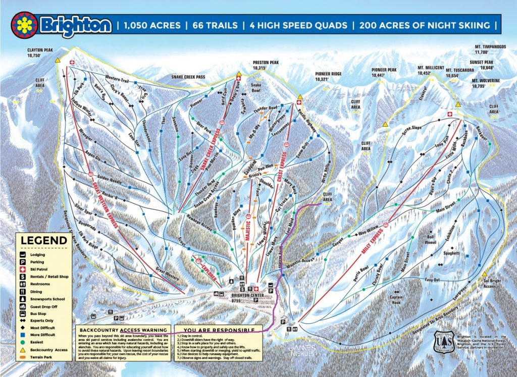
This page is meant to be an accessory to the Brighton Uphill Policy page to assist skiers in navigating the proper uphill routes.
Route Directions: Please travel up the far right hand side of the M&M Trail to the Lost Maid Trail, proceeding up the Mary summer hiking trail, leaving the ski area boundary at that access point to Lake Mary and Catherine Pass areas. (marked with Forest Service boundary sign)
For a Google Earth Downloadable KMZ file of the uphill route right click here and select “Save As” and you can download the KMZ file to your desktop.
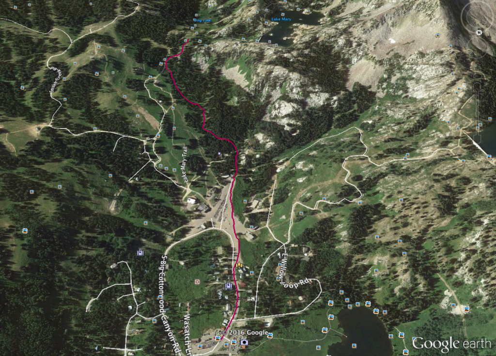
For a downloadable GPX file you can upload t your GPS device to navigate the route, right click here and select “Save As” and you can download the GPX file to your desktop. Use the map below to view the map and navigate the route on GAIA GPS webpage or mobile application.